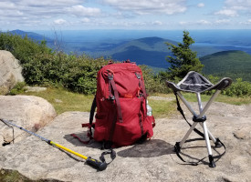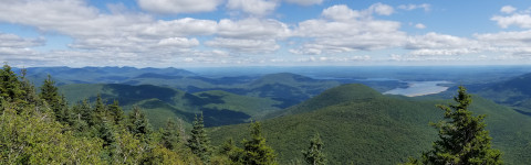
In the heart of the Catskill Mountains in New York State within the Slide Mountain Wilderness is the popular loop trail commonly known as The Burroughs Range Loop. The loop passes over 3 peaks above 3,500ft in elevation including the Catskills highest peak, Slide Mountain at 4,180ft. A roughly 15 mile trek with approximately 5,000ft of total elevation gain, the loop can be a challenging 1 day hike but a more enjoyable overnight at one of the primitive tent sites along the route. Water can be scare on this route but there is a spring near Slide Mountain. The crisp air and balsam fir forests of this range hit the senses unlike anywhere else.
|
|
|
|
|
|
This guide starts at the trailhead on Woodland Valley Road, GPS: 42.036126, -74.357330
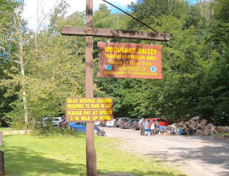 |
| Parking Lot |
 |
| Trailhead: Woodland Valley Road |
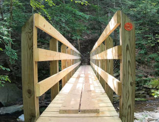 |
| 0.1mi: Bridge |
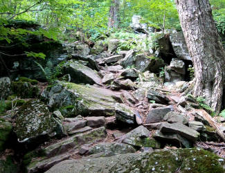 |
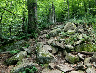
| 0.3mi: Steep bouldery trail |
 |
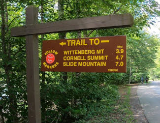
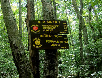
| 0.8mi: Follow Red Trail |
 |
| 2.6mi: Trail Junction |
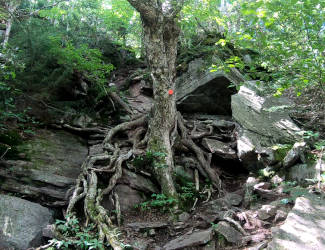 |
| 3.0mi: Crazy Tree |
 |
| 3.4mi: Wittenberg Summit |
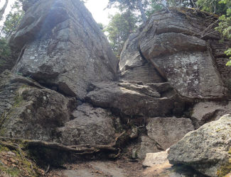 |
| 5.0mi: Cornell Crack |
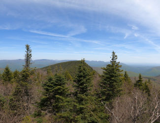 |
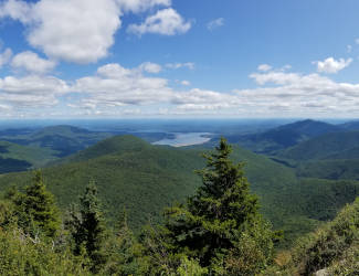
| 5.0mi: Vista atop Cornell Crack |
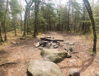 |
| 6.0mi: Primitive Tentsite |
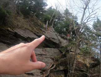 |
| 7.1mi: Scramble |
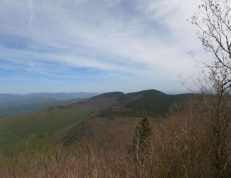 |
| 7.2mi: Slide Vista Near Spring |
 |
| 7.5mi: Slide Mountain Summit |
After reaching Slide Mountain continue on the red blazed Wittenberg-Cornell-Slide Trail for just about 2mi until you reach the yellow blazed Phoenicia-East Branch Trail. Take a right turn onto the yellow blazed Phoenicia-East Branch Trail for just over a half mile to the Slide Mountain parking lot. You will now have either a 1 or 2 mile road walk along Oliverea Road(rt.47) turning right out of the Slide parking lot. There is a private club that allows use of the easement trail at about 1 mile from the Slide parking lot. If the easement is available you will have approximately a 1.5mi walk on a carriage road to once again reach the yellow blazed Phoenicia-East Branch Trail for the last 2.6mi to the Woodland Valley Campground and parking area. If use of the easement trail is not available you must continue the road walk for approximately 1mi until you reach the Phoenicia-East Branch Trail at the Giant Ledge trailhead and parking lot.