 Trail Guide
Located in Greene County New York in the Catskills, West Kill Mountain can be climbed as a moderately difficult day hike or when backpacking the entirety of the challenging Devil's Path of which it is a part of. As a single day hike the total mileage is around 6 miles when hiking from the common starting point on Spruceton Road. There is a lot of character to this hike as the trail will change from a mild walk along a stream and waterfall to a grueling ascent to the summit. The hiker parking lots are small for this one so arrive early to assure a space.
Key Features
|
|
|
|
|
|
|
Trail Guide Disclaimer
This guide starts at the trailhead on Spruceton Road, GPS: 42.182384, -74.269542
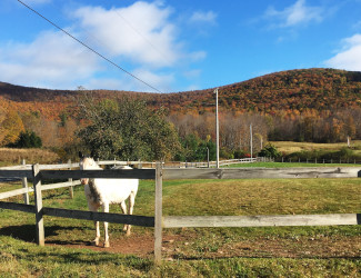 |
| Trailhead: Spruceton Road |
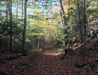 |
| 0.1mi: Level Trail |
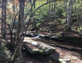 |
| 0.4mi: Stream |
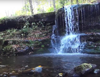 |
| 0.7mi: Diamond Notch Falls |
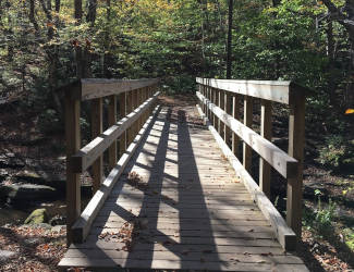 |
| 0.8mi: Bridge |
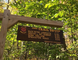 |
| 0.9mi: Trail Sign |
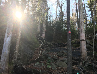 |
| 1.5mi: Steep Trail |
 |
| 1.9mi: Moss |
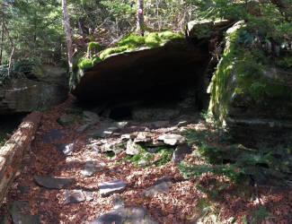 |
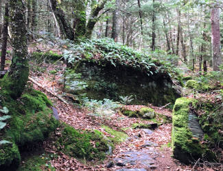
| 2.1mi: Rock Formation |
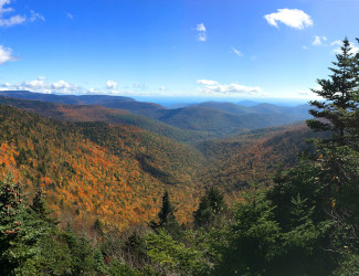 |
| 2.8mi: Buck Ridge Lookout |
| After reaching the Buck Ridge Lookout the summit of Westkill Mountain is just over 0.1mi past the lookout. After reaching the summit turn around and head back down the trail the way you came. Congratulations! You've climbed Westkill Mountain! |
Links
NYDEC Hunter-West Kill Wilderness Info
NYDEC Hunter-West Kill Wilderness Map
Nearby Hikes
Other Catskills Hikes